Upcoming Spaceflight Launches
Filter by Agency, Locations or Vehicles
Show All Launches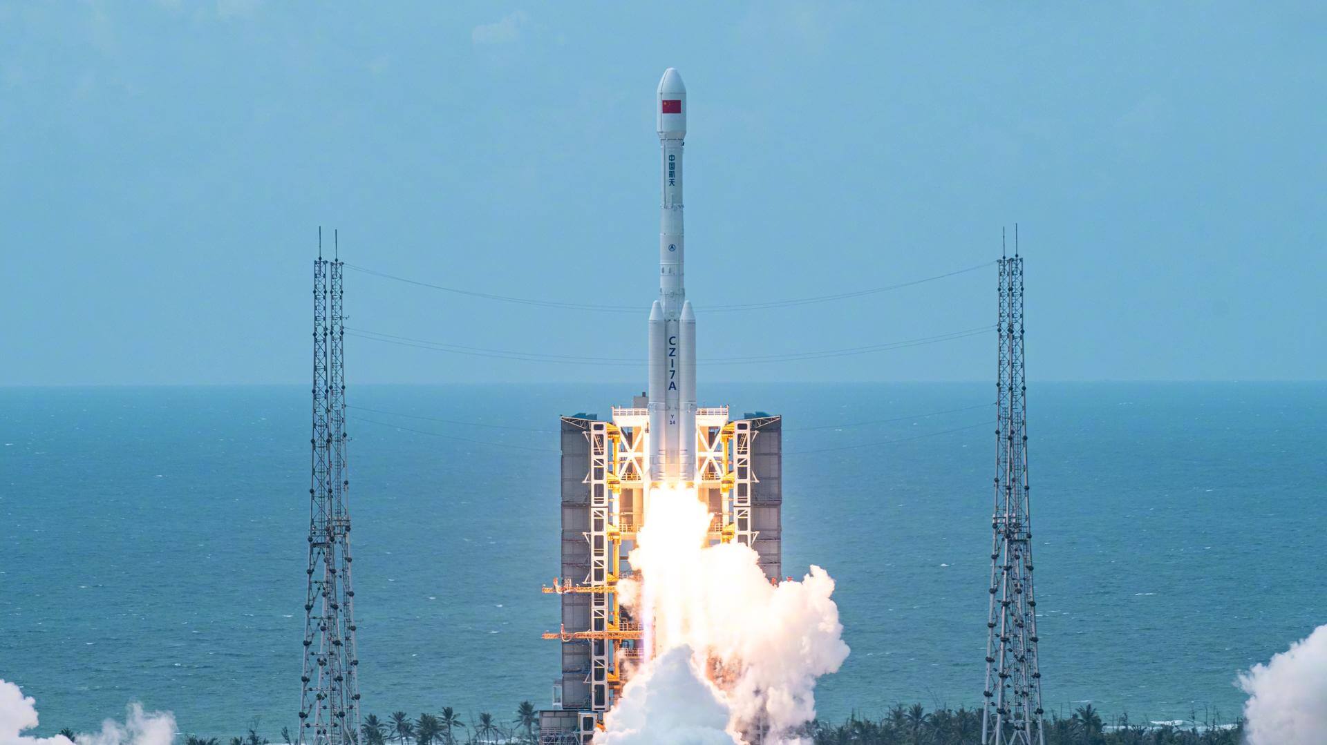
Long March 7A | Unknown Payload
China Aerospace Science and Technology Corporation | ChinaWenchang Space Launch Site, People's Republic of China
TBD April, 2026
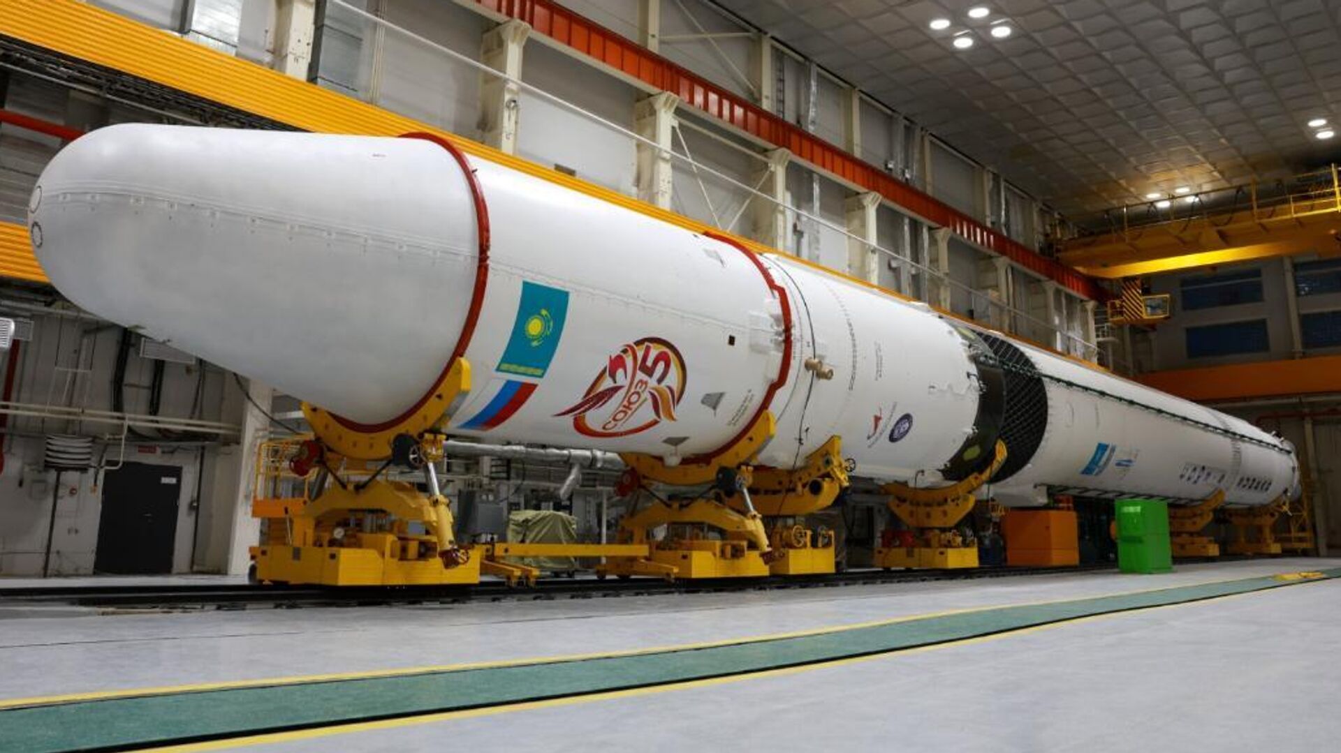
Soyuz-5 | Demo Flight
RKK Energiya | RussiaBaikonur Cosmodrome, Republic of Kazakhstan
TBD April, 2026
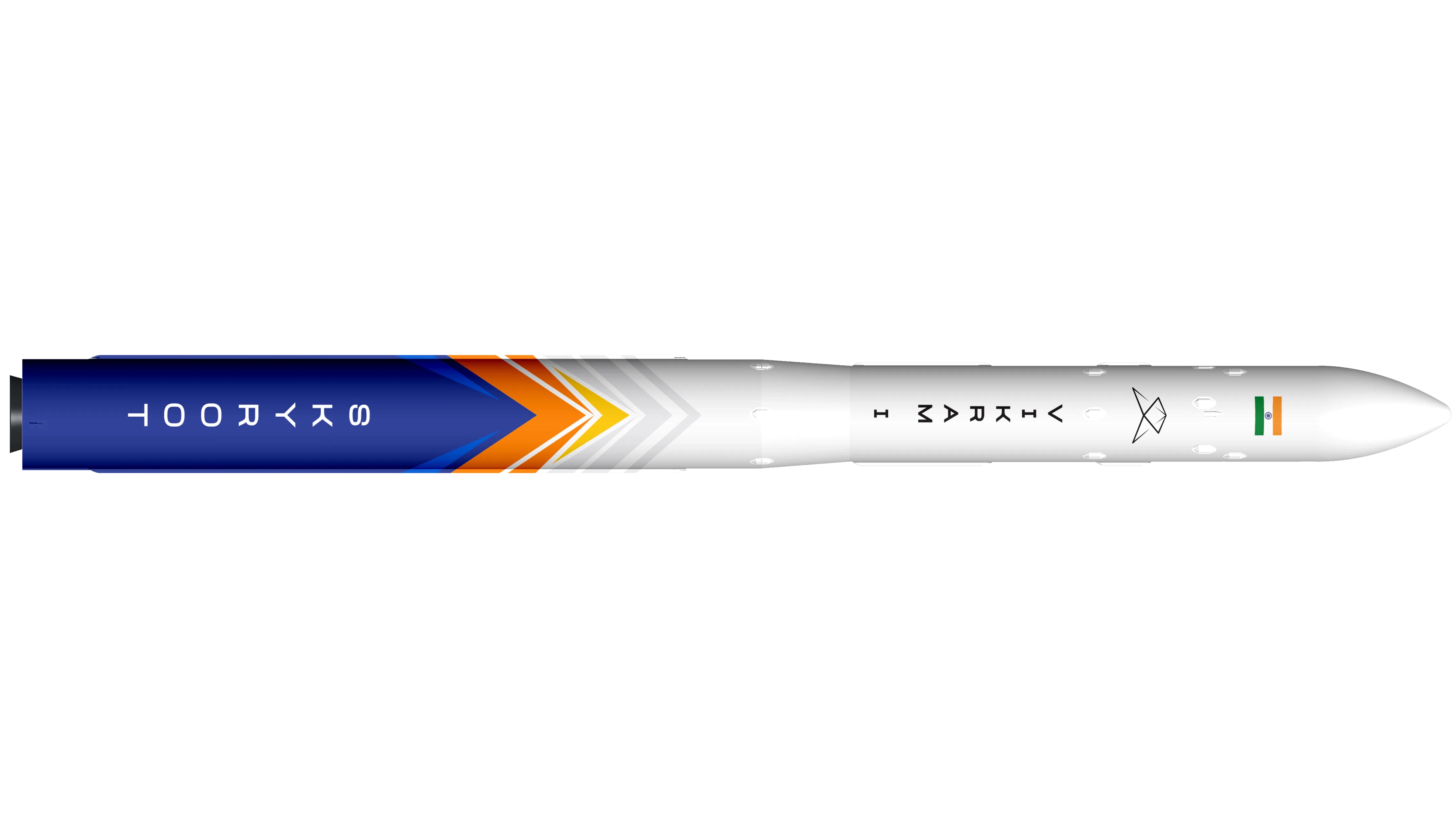
Vikram-I | Demo Flight
Skyroot Aerospace | IndiaSatish Dhawan Space Centre, India
TBD April, 2026
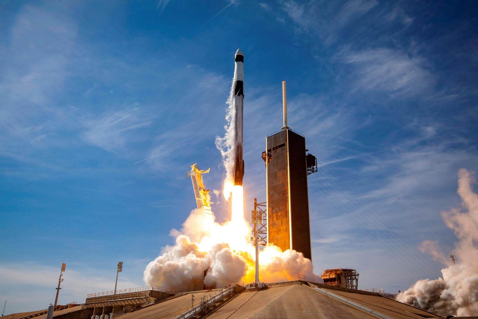
Falcon 9 Block 5 | Dragon CRS-2 SpX-34
SpaceX | United States of AmericaCape Canaveral SFS, FL, USA
TBD May, 2026
Status: To Be Determined
Mission:
34th commercial resupply services mission to the International Space Station operated by SpaceX. The flight will be conducted under the second Commercial Resupply Services contract with NASA. Cargo Dragon 2 brings supplies and payloads, including critical materials to directly support science and research investigations that occur onboard the orbiting laboratory.
Low Earth Orbit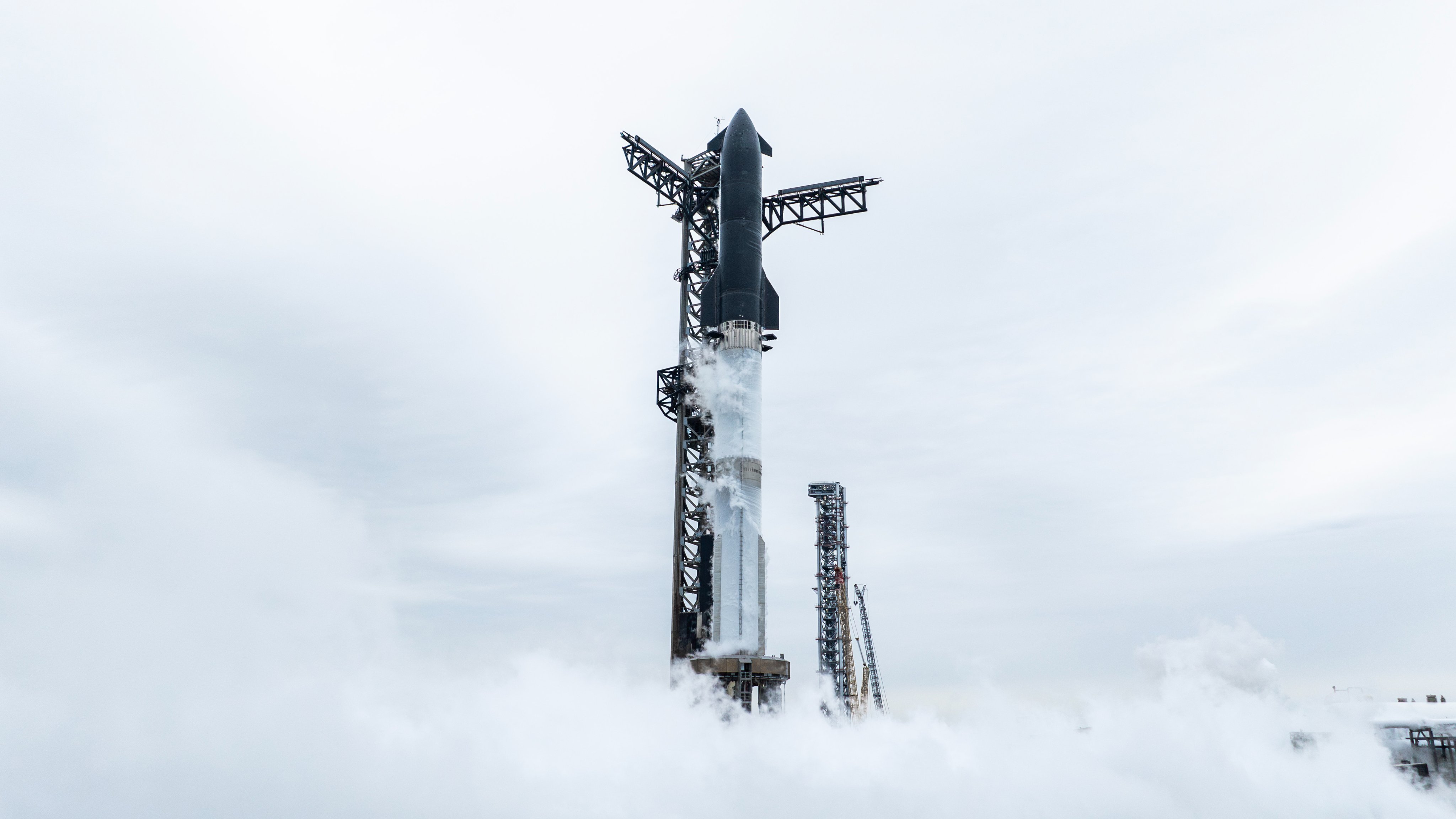
Starship | Flight 12
SpaceX | United States of AmericaSpaceX Starbase, TX, USA
TBD May, 2026
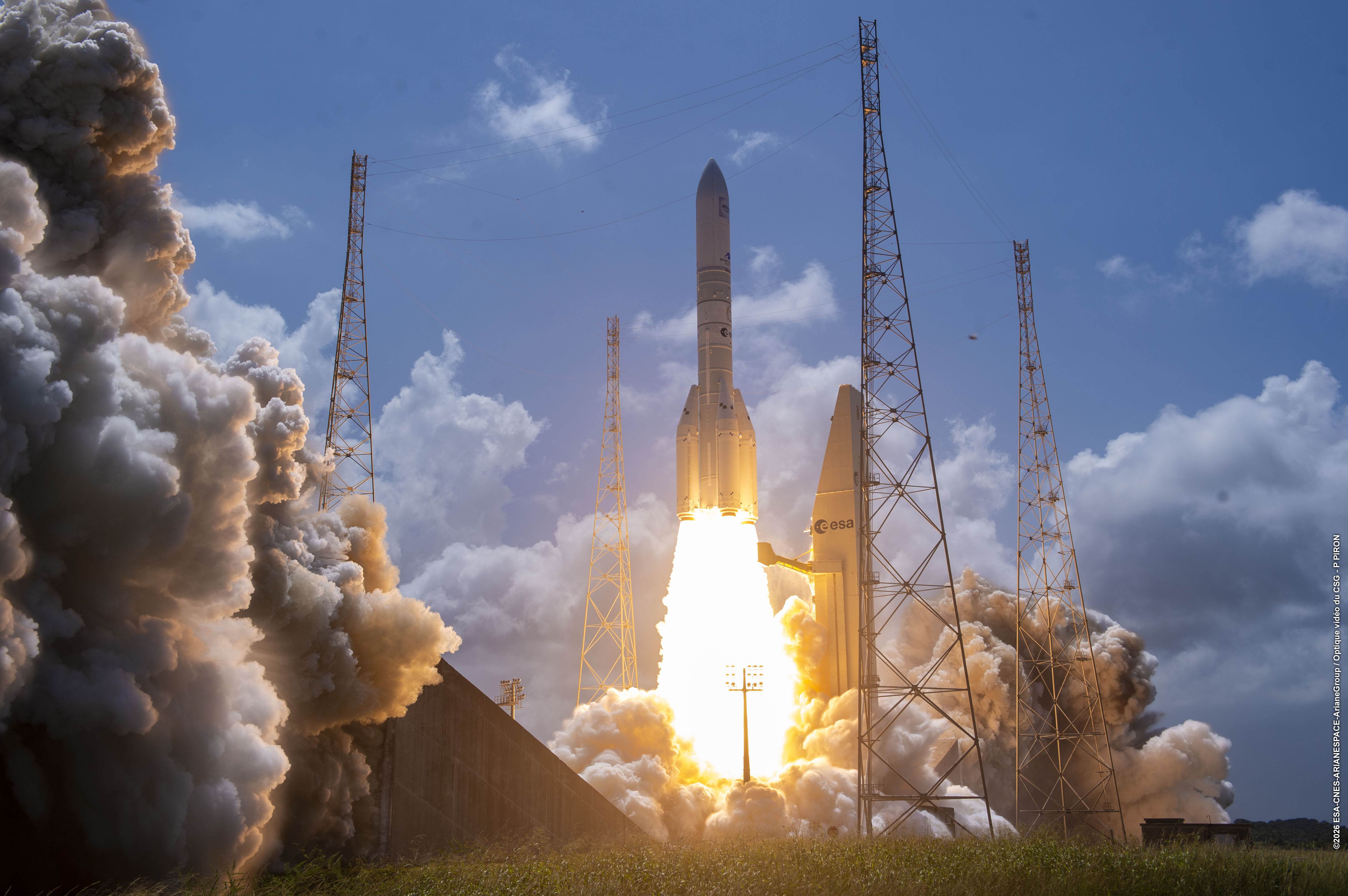
Ariane 64 Block 2 | Amazon Leo (LE-03)
ArianeGroup | FranceGuiana Space Centre, French Guiana
TBD May, 2026
Status: To Be Determined
Mission:
Amazon Leo, formerly known as Project Kuiper, is a mega constellation of satellites in Low Earth Orbit that will offer broadband internet access, this constellation will be managed by Kuiper Systems LLC, a subsidiary of Amazon. This constellation is planned to be composed of 3,276 satellites. The satellites are projected to be placed in 98 orbital planes in three orbital layers, one at 590 km, 610 km and 630 km altitude. 35-40 satellites will be carried on each Ariane 6 launch.
Low Earth Orbit
Electron | StriX Launch 9
Rocket Lab | United States of AmericaRocket Lab Launch Complex 1, Mahia Peninsula, New Zealand
TBD May, 2026

Pegasus XL | Swift Rescue Mission
Orbital Sciences Corporation | United States of AmericaAir launch to orbit
TBD June, 2026
Status: To Be Determined
Mission:
Contracted by NASA under the Small Business Innovation Research Phase 3 contract, Katalyst Space Technologies' LINK servicing spacecraft will rendezvous and attach to NASA’s Neil Gehrels Swift Observatory to re-boost its orbit. This aims to demonstrate a key capability for the future of space exploration and extending the Swift mission’s science lifetime in gamma ray astronomy.
Low Earth Orbit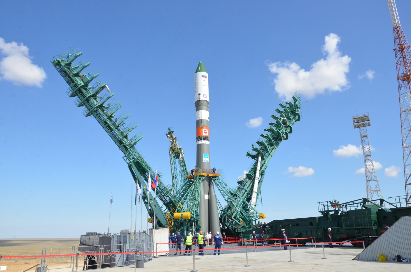
Soyuz 2.1a | Progress MS-35 (96P)
Progress Rocket Space Center | RussiaBaikonur Cosmodrome, Republic of Kazakhstan
June 17, 2026
Electron | LOXSAT 1
Rocket Lab | United States of AmericaRocket Lab Launch Complex 1, Mahia Peninsula, New Zealand
TBD June, 2026
Status: To Be Determined
Mission:
LOXSAT 1 is a demonstration satellite of a complete cryogenic oxygen fluid management system in orbit, developed by Eta Space and sponsored by NASA's Tipping Point program. The system will be integrated on a Rocket Lab Photon-LEO satellite bus and collect critical cryogenic fluid management data in orbit for 9 months, demonstrating capabilities of in-space cryogenic storage and transferal. Eta Space plans to use technology developed for this mission to develop a truly commercial depot intended to serve multiple customers in the future.
Low Earth OrbitFalcon 9
Starlink Group 17-35
Space Launch Complex 4E - Vandenberg SFB, CA, USAA batch of 25 satellites for the Starlink mega-constellation - SpaceX's project for space-based Internet communication system.
Atlas V 551
Amazon Leo (LA-05)
Space Launch Complex 41 - Cape Canaveral SFS, FL, USAAmazon Leo, formerly known as Project Kuiper, is a mega constellation of satellites in Low Earth Orbit that will offer broadband internet access, thi…
Soyuz 2.1a/Fregat-M
Meridian-M No.21L
43/3 (43L) - Plesetsk Cosmodrome, Russian FederationNote: Payload identity uncertain. Meridian is a series of communications satellite for military and civilian use.
Tianlong-3
Demo Flight
Tianlong-3 Launch Pad - Jiuquan Satellite Launch Center, People's Republic of ChinaFirst test launch of Space Pioneer’s Tianlong-3 rocket.
Falcon 9
Starlink Group 10-58
Space Launch Complex 40 - Cape Canaveral SFS, FL, USAA batch of 29 satellites for the Starlink mega-constellation - SpaceX's project for space-based Internet communication system.
Space Launch System (SLS)
Artemis II
Launch Complex 39B - Kennedy Space Center, FL, USAArtemis II is the first crewed mission as part of the Artemis program. Artemis II will send a crew of 4 - 3 Americans and 1 Canadian around the moon …
Falcon 9
Starlink Group 10-44
Space Launch Complex 40 - Cape Canaveral SFS, FL, USAA batch of 29 satellites for the Starlink mega-constellation - SpaceX's project for space-based Internet communication system.
Falcon 9
Transporter 16 (Dedicated SSO Rideshare)
Space Launch Complex 4E - Vandenberg SFB, CA, USADedicated rideshare flight to a sun-synchronous orbit with dozens of small microsatellites and nanosatellites for commercial and government customers.
Kinetica 2
Demo Flight (Qingzhou Prototype Spacecraft)
Launch Area 140 - Jiuquan Satellite Launch Center, People's Republic of ChinaFirst test launch and mission of CAS Space’s Kinetica-2 rocket, with 3 spacecraft on board: * New March 02 (Qingzhou space station cargo resupply …
Electron
Daughter Of The Stars (LEO-PNT Pathfinder A)
Rocket Lab Launch Complex 1A - Rocket Lab Launch Complex 1, Mahia Peninsula, New ZealandThe European Space Agency (ESA)'s LEO-PNT (Low Earth Orbit Positioning, Navigation and Timing) demonstrator mission will feature a 10-satellite const…

