Upcoming Spaceflight Launches
Filter by Agency, Locations or Vehicles
Show All Launches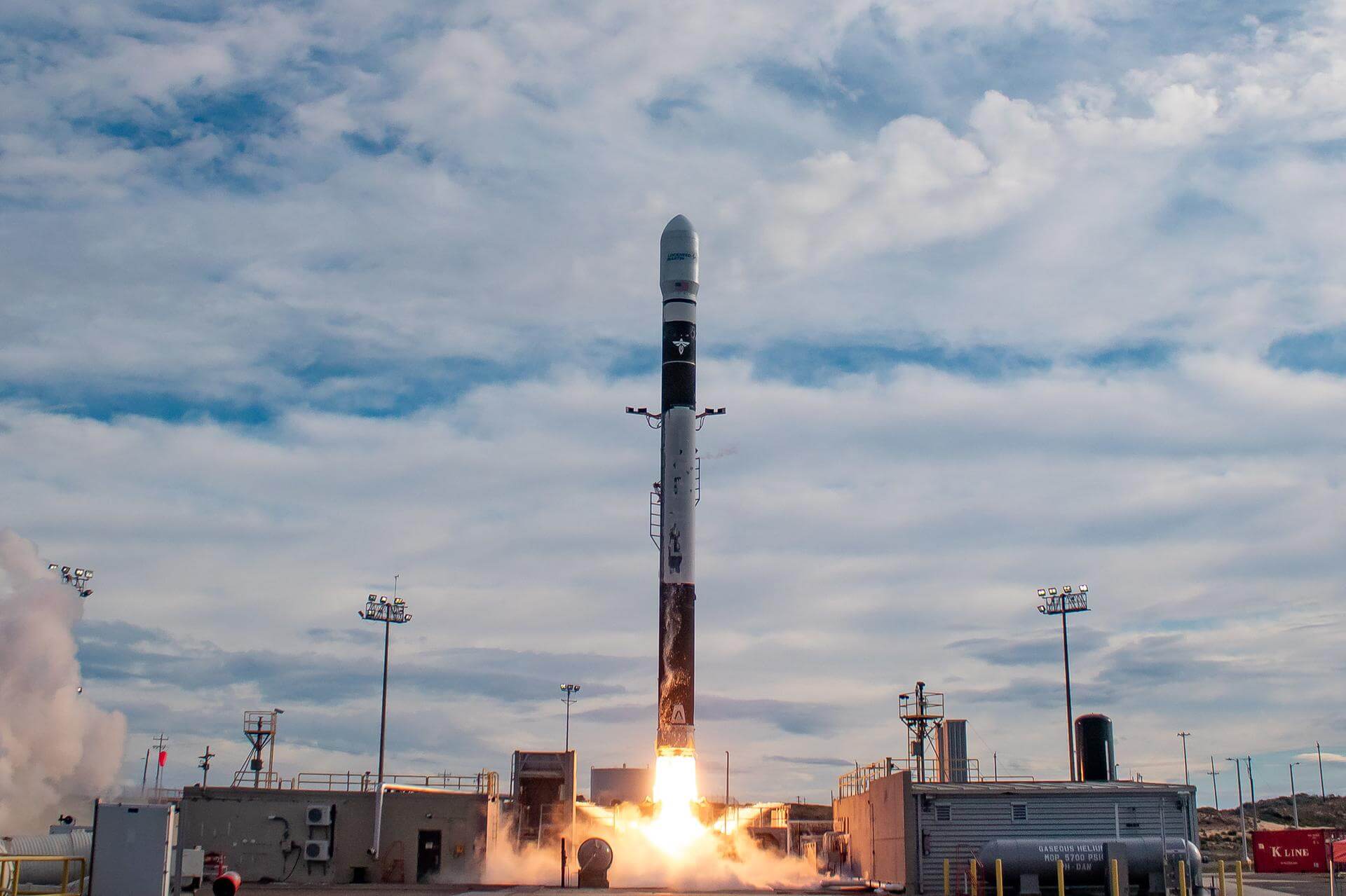
Firefly Alpha Block 2 | TacSat
Firefly Aerospace | United States of AmericaVandenberg SFB, CA, USA
TBD December, 2026
Status: To Be Determined
Mission:
First of up to 25 launches of Low Earth Orbit technology demonstration satellites to be built and operated by Lockheed Martin. TacSat is an intelligence, surveillance and reconnaissance spacecraft with a mission to prove specialized sensing and communications capabilities on orbit. The satellite will participate in exercises that highlight cross-domain kill-web connectivity, enabling timely execution of tactical space missions. TacSat will host a proven Lockheed Martin infrared sensor on board that brings previously developed technology to space for the first time. This sensor produces high quality imagery and it can interface with federated Battle Management Command & Control (BMC2) combat systems to provide joint forces with a comprehensive view of threats. The satellite will also feature Lockheed Martin’s first 5G.MIL® payload on orbit. This provides cellular-like networking for military space assets, making satellite constellations more resilient. It also helps enable seamless connectivity with tools in the air, at sea and on land. Launch operation will also again demonstrate responsive space pre-launch operation capabilities.
Low Earth Orbit
H3-24 | HTV-X3
Mitsubishi Heavy Industries | JapanTanegashima Space Center, Japan
TBD December, 2026

Falcon 9 Block 5 | Telesat Lightspeed 1
SpaceX | United States of AmericaCape Canaveral SFS, FL, USA
TBD December, 2026

Miura 5 | Maiden Flight
Payload Aerospace S.L. | SpainGuiana Space Centre, French Guiana
TBD December, 2026
Soyuz 2.1b/Fregat | Glonass-K1 No. 19
Progress Rocket Space Center | RussiaPlesetsk Cosmodrome, Russian Federation
TBD December, 2026
Status: To Be Determined
Mission:
Glonass-K are the third generation of satellite design for GLONASS satellite navigation system. GLONASS is a Russian space-based navigation system comparable to the similar GPS and Galileo systems. This generation improves on accuracy, power consumption and design life. Each satellite is unpressurized and weighs 935 kg, and has an operational lifetime of 10 years.
Medium Earth Orbit
Electron | BlackSky Gen-3 7
Rocket Lab | United States of AmericaRocket Lab Launch Complex 1, Mahia Peninsula, New Zealand
TBD December, 2026
Falcon 9 Block 5 | Telesat Lightspeed 4
SpaceX | United States of AmericaCape Canaveral SFS, FL, USA
TBD December, 2026
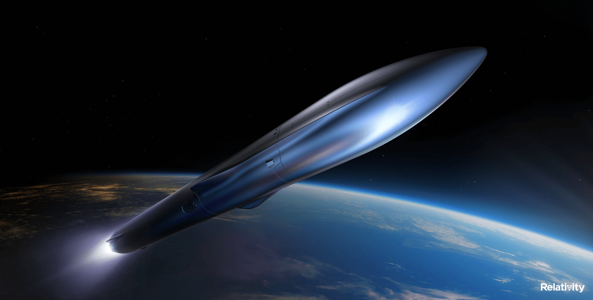
Terran R | Intelsat-1
Relativity Space | United States of AmericaCape Canaveral SFS, FL, USA
TBD December, 2026
Falcon 9 Block 5 | Blue Ghost Lunar Lander Mission 2
SpaceX | United States of AmericaCape Canaveral SFS, FL, USA
TBD December, 2026
Status: To Be Determined
Mission:
2nd lunar lander developed by Firefly Aerospace. The Blue Ghost lander will be of a new two-stage version utilizing an Elytra Dark transfer vehicle to place it and the European Space Agency's Lunar Pathfinder experimental communication satellite into Lunar orbit. The lander will land on the far side of the Moon with 2 NASA payloads: * Lunar Surface Electromagnetics Experiment (LuSEE-Night) * User Terminal (UT)
Lunar OrbitH3-24 | Lunar Polar Exploration Mission (LUPEX)
Mitsubishi Heavy Industries | JapanTanegashima Space Center, Japan
TBD December, 2026
Status: To Be Determined
Mission:
The Lunar Polar Exploration mission (LUPEX) is a robotic lunar mission jointly developed by the Indian Space Research Organisation (ISRO) and Japan Aerospace Exploration Agency (JAXA), deploying a lunar rover and lander to explore the south pole region of the Moon. JAXA will provide the under-development H3 launch vehicle and the rover, while ISRO would be responsible for the lander.
Lunar OrbitLong March 8
SpaceSail Polar Group 07
Commercial LC-1 - Wenchang Space Launch Site, People's Republic of China18 Low Earth Orbit communication satellites with Ku, Q and V band payloads for the G60 constellation operated by Shanghai Spacesail Technologies with…
Minotaur IV
STP-S29A
Space Launch Complex 8 - Vandenberg SFB, CA, USASTP-S29A is a mission under the U.S. Department of Defense's Space Test Program (STP) that will deliver technology demonstrations to orbit and contri…
Falcon 9
Starlink Group 17-35
Space Launch Complex 4E - Vandenberg SFB, CA, USAA batch of 25 satellites for the Starlink mega-constellation - SpaceX's project for space-based Internet communication system.
Atlas V 551
Amazon Leo (LA-05)
Space Launch Complex 41 - Cape Canaveral SFS, FL, USAAmazon Leo, formerly known as Project Kuiper, is a mega constellation of satellites in Low Earth Orbit that will offer broadband internet access, thi…
Soyuz 2.1a/Fregat-M
Meridian-M No.21L
43/3 (43L) - Plesetsk Cosmodrome, Russian FederationNote: Payload identity uncertain. Meridian is a series of communications satellite for military and civilian use.
Tianlong-3
Demo Flight
Tianlong-3 Launch Pad - Jiuquan Satellite Launch Center, People's Republic of ChinaFirst test launch of Space Pioneer’s Tianlong-3 rocket.
Falcon 9
Starlink Group 10-58
Space Launch Complex 40 - Cape Canaveral SFS, FL, USAA batch of 29 satellites for the Starlink mega-constellation - SpaceX's project for space-based Internet communication system.
Space Launch System (SLS)
Artemis II
Launch Complex 39B - Kennedy Space Center, FL, USAArtemis II is the first crewed mission as part of the Artemis program. Artemis II will send a crew of 4 - 3 Americans and 1 Canadian around the moon …
Falcon 9
Starlink Group 10-44
Space Launch Complex 40 - Cape Canaveral SFS, FL, USAA batch of 29 satellites for the Starlink mega-constellation - SpaceX's project for space-based Internet communication system.
Falcon 9
Transporter 16 (Dedicated SSO Rideshare)
Space Launch Complex 4E - Vandenberg SFB, CA, USADedicated rideshare flight to a sun-synchronous orbit with dozens of small microsatellites and nanosatellites for commercial and government customers.

