Upcoming Spaceflight Launches
Filter by Agency, Locations or Vehicles
Show All Launches
Vega-C | IRIDE 2
Avio S.p.A | ItalyGuiana Space Centre, French Guiana
TBD December, 2026
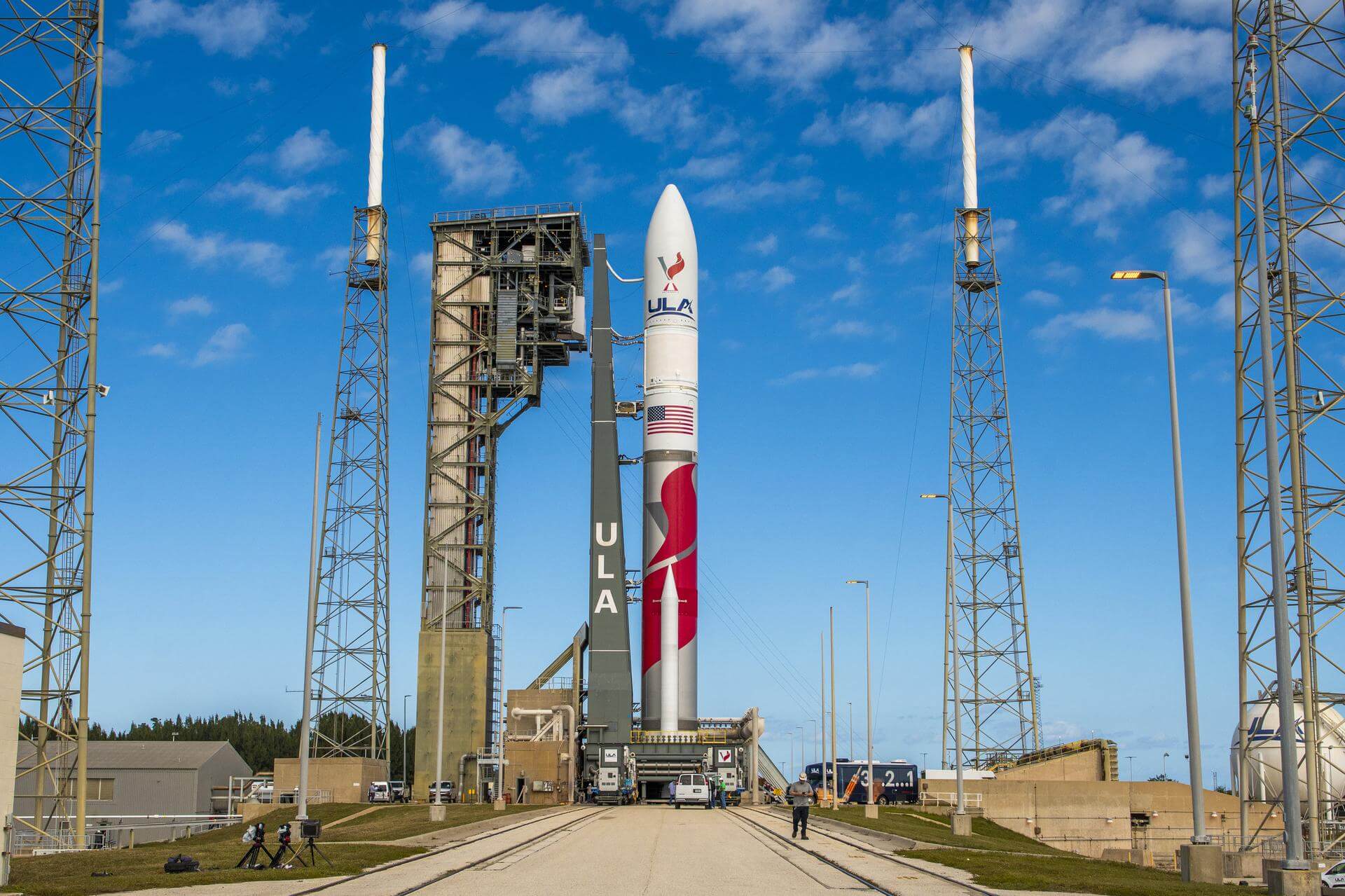
Vulcan | USSF-16
United Launch Alliance | United States of AmericaCape Canaveral SFS, FL, USA
TBD December, 2026
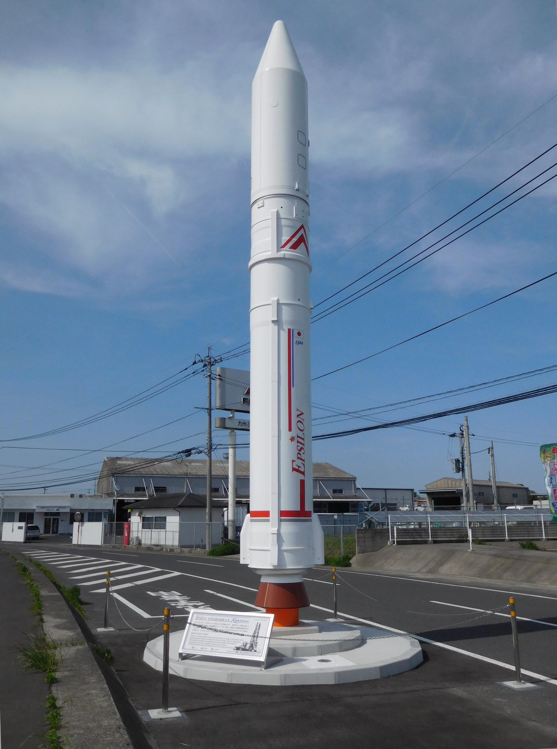
Epsilon S | JV-LOTUSat-1
Japan Aerospace Exploration Agency | JapanUchinoura Space Center, Japan
TBD December, 2026
Status: To Be Determined
Mission:
Vietnamese Synthetic Aperture Radar Earth observation satellite build by NEC Corporation of Japan, based on Japan's ASNARO 2 satellite and the NEXTAR NX-300L satellite bus. The satellite will contribute to measures against natural disasters and climate change in Vietnam.
Sun-Synchronous Orbit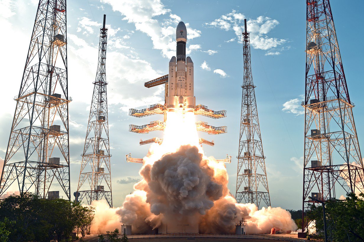
LVM-3 | Gaganyaan-2
Indian Space Research Organization | IndiaSatish Dhawan Space Centre, India
TBD December, 2026
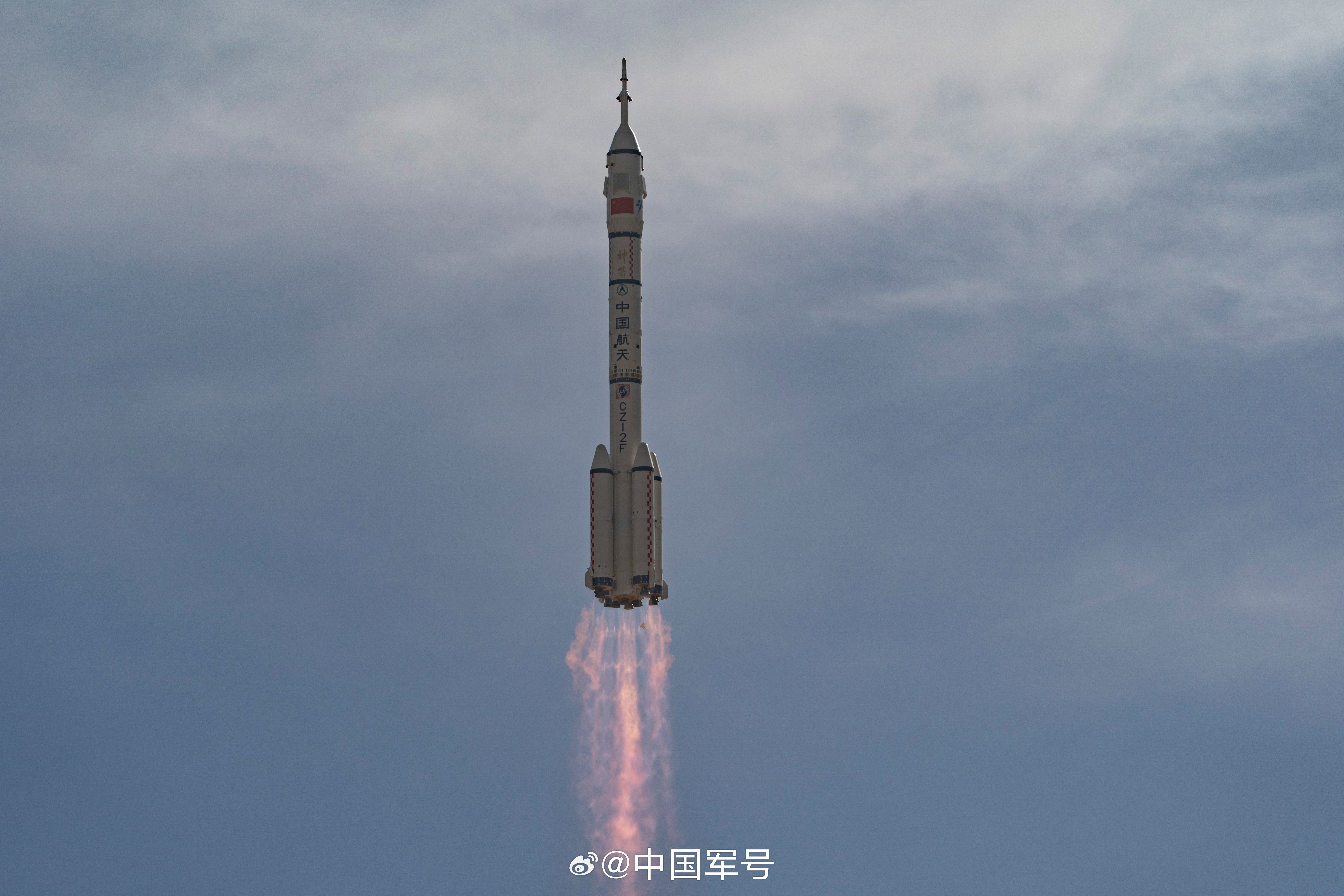
Long March 2F/G | Shenzhou 24
China Aerospace Science and Technology Corporation | ChinaJiuquan Satellite Launch Center, People's Republic of China
TBD December, 2026

Falcon 9 Block 5 | Rivada 4
SpaceX | United States of AmericaVandenberg SFB, CA, USA
TBD December, 2026

Electron | iQPS Launch 7
Rocket Lab | United States of AmericaRocket Lab Launch Complex 1, Mahia Peninsula, New Zealand
TBD December, 2026
Vulcan | USSF-112
United Launch Alliance | United States of AmericaCape Canaveral SFS, FL, USA
TBD December, 2026
Falcon 9 Block 5 | SDA Tranche 2 Transport Layer D
SpaceX | United States of AmericaCape Canaveral SFS, FL, USA
TBD December, 2026
Vulcan | NROL-64
United Launch Alliance | United States of AmericaCape Canaveral SFS, FL, USA
TBD December, 2026
Falcon 9
Starlink Group 17-35
Space Launch Complex 4E - Vandenberg SFB, CA, USAA batch of 25 satellites for the Starlink mega-constellation - SpaceX's project for space-based Internet communication system.
Atlas V 551
Amazon Leo (LA-05)
Space Launch Complex 41 - Cape Canaveral SFS, FL, USAAmazon Leo, formerly known as Project Kuiper, is a mega constellation of satellites in Low Earth Orbit that will offer broadband internet access, thi…
Soyuz 2.1a/Fregat-M
Meridian-M No.21L
43/3 (43L) - Plesetsk Cosmodrome, Russian FederationNote: Payload identity uncertain. Meridian is a series of communications satellite for military and civilian use.
Tianlong-3
Demo Flight
Tianlong-3 Launch Pad - Jiuquan Satellite Launch Center, People's Republic of ChinaFirst test launch of Space Pioneer’s Tianlong-3 rocket.
Falcon 9
Starlink Group 10-58
Space Launch Complex 40 - Cape Canaveral SFS, FL, USAA batch of 29 satellites for the Starlink mega-constellation - SpaceX's project for space-based Internet communication system.
Space Launch System (SLS)
Artemis II
Launch Complex 39B - Kennedy Space Center, FL, USAArtemis II is the first crewed mission as part of the Artemis program. Artemis II will send a crew of 4 - 3 Americans and 1 Canadian around the moon …
Falcon 9
Starlink Group 10-44
Space Launch Complex 40 - Cape Canaveral SFS, FL, USAA batch of 29 satellites for the Starlink mega-constellation - SpaceX's project for space-based Internet communication system.
Falcon 9
Transporter 16 (Dedicated SSO Rideshare)
Space Launch Complex 4E - Vandenberg SFB, CA, USADedicated rideshare flight to a sun-synchronous orbit with dozens of small microsatellites and nanosatellites for commercial and government customers.
Kinetica 2
Demo Flight (Qingzhou Prototype Spacecraft)
Launch Area 140 - Jiuquan Satellite Launch Center, People's Republic of ChinaFirst test launch and mission of CAS Space’s Kinetica-2 rocket, with 3 spacecraft on board: * New March 02 (Qingzhou space station cargo resupply …
Electron
Daughter Of The Stars (LEO-PNT Pathfinder A)
Rocket Lab Launch Complex 1A - Rocket Lab Launch Complex 1, Mahia Peninsula, New ZealandThe European Space Agency (ESA)'s LEO-PNT (Low Earth Orbit Positioning, Navigation and Timing) demonstrator mission will feature a 10-satellite const…

